Relocating · Columbia Falls
Moving to Columbia Falls, Montana.
Columbia Falls sits on U.S. Highway 2 on the way from Kalispell to Glacier National Park. Of the four towns on these pages, it is the closest to the West Glacier entrance by road.
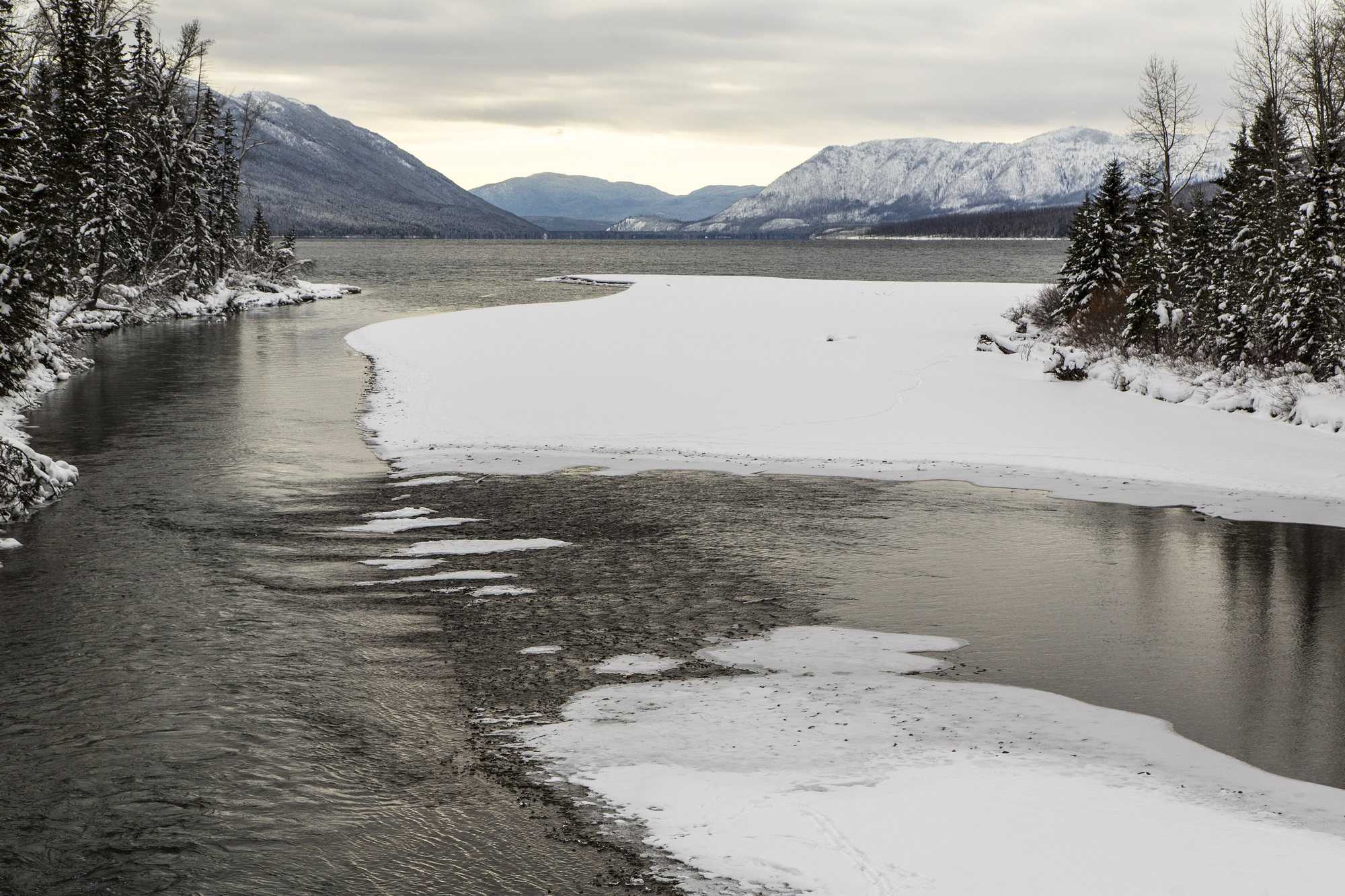
Photo: McDonald Creek: Glacier National Park (NPS) / Jacob W. Frank, public domain
Where it is
| From Columbia Falls to | Distance and drive |
|---|---|
| Kalispell Directions | about 16 miles, 26 min |
| Glacier Park International Airport (FCA) Directions | about 8 miles, 13 min |
| West Glacier (Glacier National Park) Directions | about 17 miles, 23 min |
Drive times are estimates from OpenStreetMap routing (OSRM), checked October 23, 2026, for normal traffic on dry roads. Winter weather, park traffic and construction can add time. Each row links to live directions.
Source: OpenStreetMap routing (OSRM), checked October 23, 2026
Getting around and services
- Logan Health runs primary care, rehabilitation and specialty clinics in Columbia Falls. The nearest hospitals are in Whitefish and Kalispell.
Sources: Logan Health, Columbia Falls clinics · Logan Health – Whitefish · Logan Health Medical Center
- Groceries and errands: OpenStreetMap lists supermarkets in town.
Source: OpenStreetMap, supermarkets
- Water and sewer inside city limits come from the City of Columbia Falls. Outside city service, ask about a well and septic system.
Sources: City of Columbia Falls · Flathead County Environmental Health, sewage and septic
- Electricity: Flathead Electric Cooperative. Natural gas: NorthWestern Energy where lines reach. Confirm both for the address.
Sources: Flathead Electric Cooperative · NorthWestern Energy
- Winter roads: check Montana 511 for conditions before a drive.
Housing at a glance
No numbers here on purpose. This site publishes market figures only from a fresh, dated MLS pull. For the latest dated figures, see the Market Report. To see what is for sale today, search current listings in Columbia Falls.
Schools
Columbia Falls School District Six. Confirm the district for a specific address with the district office.
Things to do nearby
- Glacier National Park’s west entrance, about 17 miles by road.
Sources: National Park Service, Glacier National Park · OpenStreetMap routing (OSRM), checked October 23, 2026
- Whitefish Mountain Resort, across the valley on Big Mountain.
Source: Whitefish Mountain Resort
- The Jewel Basin Hiking Area in the Swan Range, a 15,000-acre hiking area with more than 20 lakes.
Next steps
Want to talk it through? Call or text (406) 709-5404
Other towns: Kalispell · Whitefish · Bigfork · Relocation hub · Market Report · Blog